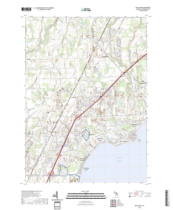
2023 Map of New Haven
USGS Topo · Published 2023About this map
New Haven stands as a central hub in this Macomb County landscape, where the GTW railroad corridor intersects a dense network of agricultural drains and creeks feeding into the Salt River. The map illustrates a complex transition from the inland settlements of Meade and Milton toward the developed shoreline of Anchor Bay on Lake Saint Clair. Along the coast, distinct residential enclaves like Sebille Manor, Lottivue, and Anchor Bay Gardens reveal the mid-to-late 20th-century suburban expansion of Chesterfield and New Baltimore. Local heritage is anchored by numerous burial grounds, including the Centennial, Meade, and Saint Mary's cemeteries, which serve as vital markers for genealogical research in this historic Michigan corridor.
Find a feature on this map
71 named features on this map. Tap any name to fly to it.
Don’t see what you’re looking for? This feature index may not catch every label — zoom into the map to look around manually.
Map Details
Editions of this 2023 New Haven Map
This is the sole edition of this map. No revisions or reprints were ever made.
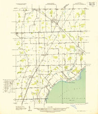
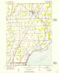
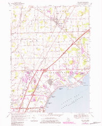
Historical Maps of Anchor Bay Harbor Through Time
4 maps found
Featured Locations
- Harrison Township, MI
- Macomb Township, MI
- New Baltimore, MI
- Chesterfield Township, MI
- Clinton Township, MI