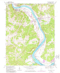
1968 Map of New Haven
USGS Topo · Published 1976About this map
The Ohio River dictates the landscape and industry of this West Virginia and Ohio border region, as evidenced by the infrastructure at Graham Station and the Powerplant near Racine. The industrial footprint is significant, with extensive tailings ponds, a conveyor system, and numerous Oil Wells. In the village of New Haven, the Baltimore and Ohio railroad corridor mirrors the river's curve, supporting a network of local commerce and settlement.
Find a feature on this map
87 named features on this map. Tap any name to fly to it.
Don’t see what you’re looking for? This feature index may not catch every label — zoom into the map to look around manually.
Map Details
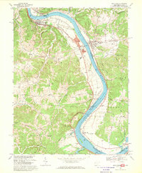
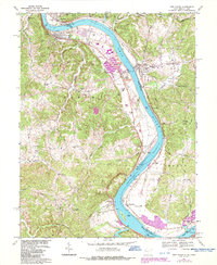
Editions of this 1968 New Haven Map
3 editions found
Other maps of this area

1907 · Pomeroy
USGS Topo · 1:62,500

1907 · Keno
USGS Topo · 1:62,500

1908 · Ravenswood
USGS Topo · 1:62,500

1908 · Point Pleasant
USGS Topo · 1:62,500

1926 · Ravenswood
USGS Topo · 1:62,500

1926 · Point Pleasant
USGS Topo · 1:62,500

1928 · Ravenswood
USGS Topo · 1:62,500

1929 · Point Pleasant
USGS Topo · 1:62,500

1947 · Columbus
USGS Topo · 1:250,000

1949 · Clarksburg
USGS Topo · 1:250,000