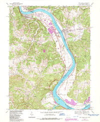
1968 Map of New Haven
USGS Topo · Published 1987About this map
The Ohio River curves sharply through this river-valley landscape, serving as the defining border between West Virginia and Ohio. Along the eastern bank, the riverfront is marked by heavy industrial infrastructure, including a massive powerplant and substation near Graham Station, connected to the interior by an extensive conveyor system. The topography transitions from the low-lying Upper Flats to the dissected hills of the Broad Run Ridge, where small farming communities and historic sites are scattered. Genealogists will find numerous family and community landmarks, such as Hoffman Cem, Yonker Cem, and the Evergreen Cem near Letart Falls. The presence of an Indian Mound near Racine suggests an ancient human presence that predates the modern industrial and coal-shipping nodes that grew along the B & O RR and later CSX rail lines.
Find a feature on this map
72 named features on this map. Tap any name to fly to it.
Don’t see what you’re looking for? This feature index may not catch every label — zoom into the map to look around manually.
Map Details
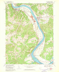
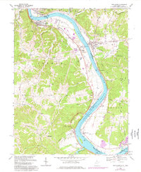
Editions of this 1968 New Haven Map
3 editions found
Other maps of this area

1907 · Pomeroy
USGS Topo · 1:62,500

1907 · Keno
USGS Topo · 1:62,500

1908 · Ravenswood
USGS Topo · 1:62,500

1908 · Point Pleasant
USGS Topo · 1:62,500

1926 · Ravenswood
USGS Topo · 1:62,500

1926 · Point Pleasant
USGS Topo · 1:62,500

1928 · Ravenswood
USGS Topo · 1:62,500

1929 · Point Pleasant
USGS Topo · 1:62,500

1947 · Columbus
USGS Topo · 1:250,000

1949 · Clarksburg
USGS Topo · 1:250,000