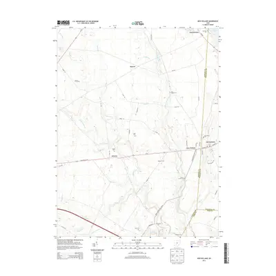
2013 Map of New Holland
USGS Topo · Published 2013About this map
New Holland stands at the convergence of Fayette and Pickaway counties, anchoring a landscape defined by the drainage of North Fork Paint Creek and its many tributaries. This 2013 survey reveals a rural Ohio geography where agriculture and family heritage are closely intertwined, as seen in the numerous small burial grounds such as Britton Chaffin Cem, Rowe Cem, and Johnson Cem. The village of West Holland and the small settlement of Johnson sit along the primary corridor of US Highway 22 NE, which cuts east-west across the terrain. To the north, the headwaters of Compton Creek and Grub Run weave through farmland near the hamlet of Manara. Significant family holdings are noted on the map, including Daniels Family Farm, Eggleton Farms, and Stinson Farms, illustrating the enduring agricultural character of the region. The northeastern corner is marked by Pancoastburg and the southern tip of Deer Cr Lake.
Find a feature on this map
65 named features on this map. Tap any name to fly to it.
Don’t see what you’re looking for? This feature index may not catch every label — zoom into the map to look around manually.
Map Details
Editions of this 2013 New Holland Map
This is the sole edition of this map. No revisions or reprints were ever made.
Other maps of this area

1906 · Mt Sterling
USGS Topo · 1:62,500

1911 · Era
USGS Topo · 1:62,500

1912 · Roxabell
USGS Topo · 1:62,500

1913 · Era
USGS Topo · 1:62,500

1914 · Roxabell
USGS Topo · 1:62,500

1917 · Greenfield
USGS Topo · 1:62,500

1943 · Era
USGS Topo · 1:62,500

1944 · Greenfield
USGS Topo · 1:62,500

1944 · Roxabell
USGS Topo · 1:62,500

1947 · Columbus
USGS Topo · 1:250,000