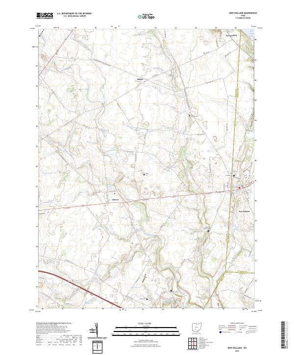
2023 Map of New Holland
USGS Topo · Published 2023About this map
New Holland stands as the primary population center in this southwestern Ohio landscape, where the borders of Fayette, Pickaway, and Ross counties converge. This modern survey captures a predominantly agricultural region defined by a sophisticated network of drainage ditches and creeks, including Dews Ditch and Clough Ditch, which support the surrounding farmland. The topography is marked by several small, dispersed settlements such as Pancoastburg, Manara, and Johnson, each connected by a grid of township and county highways.
Find a feature on this map
66 named features on this map. Tap any name to fly to it.
Don’t see what you’re looking for? This feature index may not catch every label — zoom into the map to look around manually.
Map Details
Editions of this 2023 New Holland Map
This is the sole edition of this map. No revisions or reprints were ever made.
Other maps of this area

1906 · Mt Sterling
USGS Topo · 1:62,500

1911 · Era
USGS Topo · 1:62,500

1912 · Roxabell
USGS Topo · 1:62,500

1913 · Era
USGS Topo · 1:62,500

1914 · Roxabell
USGS Topo · 1:62,500

1917 · Greenfield
USGS Topo · 1:62,500

1943 · Era
USGS Topo · 1:62,500

1944 · Greenfield
USGS Topo · 1:62,500

1944 · Roxabell
USGS Topo · 1:62,500

1947 · Columbus
USGS Topo · 1:250,000