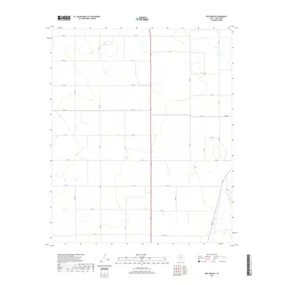
2019 Map of New Home SE
USGS Topo · Published 2019About this map
Agricultural patterns and a precise grid of county roads define this portion of the Texas South Plains in the late 2010s. The landscape is characterized by its orderly division, where local routes like Nora Rd and Sam Rd intersect at regular intervals across the high plains terrain. State-maintained routes provide the primary connectivity through this rural expanse, including FM 211 and FM 1317. A small concentration of development is visible near the intersection of FM 211 and Green St, suggesting a localized center for the surrounding ranching or farming community. The map's contouring reveals the subtle depressions and basins typical of the Llano Estacado, where drainage is primarily internal rather than through established river systems. These topographic nuances, combined with the presence of FM 2192 and FM 400, offer a clear picture of the modern infrastructure supporting this remote section of Lynn County.
Find a feature on this map
23 named features on this map. Tap any name to fly to it.
Don’t see what you’re looking for? This feature index may not catch every label — zoom into the map to look around manually.
Map Details
Editions of this 2019 New Home SE Map
This is the sole edition of this map. No revisions or reprints were ever made.
Other maps of this area

1954 · Lubbock
USGS Topo · 1:250,000

1957 · New Home
USGS Topo · 1:62,500

1965 · Slaton
USGS Topo · 1:24,000

1965 · Wilson
USGS Topo · 1:24,000

1969 · Tahoka
USGS Topo · 1:24,000

1969 · Double Lakes
USGS Topo · 1:24,000

1970 · New Lynn
USGS Topo · 1:24,000

1976 · New Home NW
USGS Topo · 1:24,000

1976 · New Home NE
USGS Topo · 1:24,000
1976 · New Home SE
USGS Topo · 1:24,000