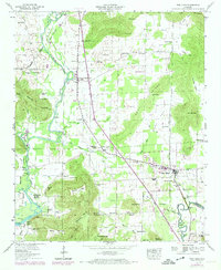
1947 Map of New Hope
USGS Topo · Published 1974About this map
New Hope serves as the primary hub in this portion of southeast Madison County, situated along the Florida Short Route. The landscape is defined by the significant hydrological systems of the Flint River and Paint Rock River, with the former feeding into the expansive Wheeler Lake. This 1947 field-checked survey reveals a rural landscape deeply rooted in family and community, evidenced by numerous small burying grounds like Vann Cem, Moon Cem, and Byrd Cem, alongside scattered houses of worship such as Buggs Chapel and Glover Chapel.
Find a feature on this map
76 named features on this map. Tap any name to fly to it.
Don’t see what you’re looking for? This feature index may not catch every label — zoom into the map to look around manually.
Map Details
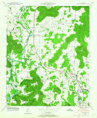
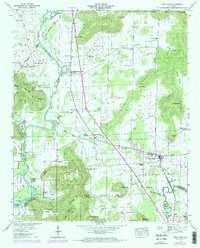
Editions of this 1947 New Hope Map
3 editions found
Other maps of this area

1885 · Gadsden
USGS Topo · 1:125,000

1888 · Cullman
USGS Topo · 1:125,000

1888 · Gadsden
USGS Topo · 1:125,000

1888 · Scottsboro
USGS Topo · 1:125,000

1888 · Huntsville
USGS Topo · 1:125,000

1892 · Cullman
USGS Topo · 1:125,000

1892 · Huntsville
USGS Topo · 1:125,000

1892 · Scottsboro
USGS Topo · 1:125,000

1892 · Gadsden
USGS Topo · 1:125,000

1895 · Gadsden
USGS Topo · 1:125,000