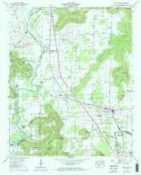
1947 Map of New Hope
USGS Topo · Published 1974About this map
New Hope serves as a focal point in this portion of Madison County, situated just north of the Marshall County line. The settlement pattern is defined by the valley floors between significant elevations like Keel Mountain and Green Mountain, where agricultural lands are dotted with numerous small family and community burial grounds, including Byrd Cem and Moon Cem. The Flint River and Paint Rock River flank the area, with the southern reaches influenced by the waters of Wheeler Lake.
Find a feature on this map
74 named features on this map. Tap any name to fly to it.
Don’t see what you’re looking for? This feature index may not catch every label — zoom into the map to look around manually.
Map Details
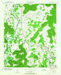
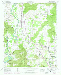
Editions of this 1947 New Hope Map
3 editions found
Other maps of this area

1885 · Gadsden
USGS Topo · 1:125,000

1888 · Cullman
USGS Topo · 1:125,000

1888 · Gadsden
USGS Topo · 1:125,000

1888 · Scottsboro
USGS Topo · 1:125,000

1888 · Huntsville
USGS Topo · 1:125,000

1892 · Cullman
USGS Topo · 1:125,000

1892 · Huntsville
USGS Topo · 1:125,000

1892 · Scottsboro
USGS Topo · 1:125,000

1892 · Gadsden
USGS Topo · 1:125,000

1895 · Gadsden
USGS Topo · 1:125,000