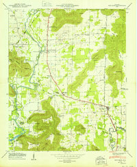
1950 Map of New Hope
USGS Topo · Published 1950About this map
The Flint River winds through this 1950 survey of southeastern Madison County, marking a landscape of agricultural valleys and prominent limestone ridges. The town of New Hope serves as a local hub near the southern boundary, where the Florida Short Route provides a primary north-south artery through the hills. This era shows the impact of mid-century water management, with the backwaters of Wheeler Reservoir reaching into the lowlands near Elon.
Find a feature on this map
83 named features on this map. Tap any name to fly to it.
Don’t see what you’re looking for? This feature index may not catch every label — zoom into the map to look around manually.
Map Details
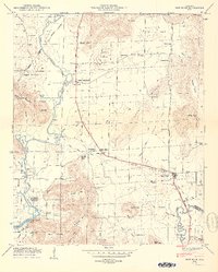
Editions of this 1950 New Hope Map
2 editions found
Other maps of this area

1885 · Gadsden
USGS Topo · 1:125,000

1888 · Cullman
USGS Topo · 1:125,000

1888 · Gadsden
USGS Topo · 1:125,000

1888 · Scottsboro
USGS Topo · 1:125,000

1888 · Huntsville
USGS Topo · 1:125,000

1892 · Cullman
USGS Topo · 1:125,000

1892 · Huntsville
USGS Topo · 1:125,000

1892 · Scottsboro
USGS Topo · 1:125,000

1892 · Gadsden
USGS Topo · 1:125,000

1895 · Gadsden
USGS Topo · 1:125,000