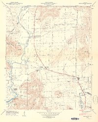
1950 Map of New Hope
USGS Topo · Published 1950About this map
Owens Cross Roads serves as a central junction in this Madison County landscape, where the Florida Short Route and New Hope Pike connect rural communities. The map captures a period of transition as the Flint River flows into the Wheeler Reservoir, reflecting the significant impact of the Tennessee Valley Authority’s water management on local geography. Evidence of earlier history is visible along the Old Cherokee Road and the Cherokee Lands Boundary, marking the enduring lines of 19th-century settlement.
Find a feature on this map
81 named features on this map. Tap any name to fly to it.
Don’t see what you’re looking for? This feature index may not catch every label — zoom into the map to look around manually.
Map Details
Editions of this 1950 New Hope Map
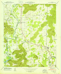
2 editions found
Other maps of this area

1885 · Gadsden
USGS Topo · 1:125,000

1888 · Cullman
USGS Topo · 1:125,000

1888 · Gadsden
USGS Topo · 1:125,000

1888 · Scottsboro
USGS Topo · 1:125,000

1888 · Huntsville
USGS Topo · 1:125,000

1892 · Cullman
USGS Topo · 1:125,000

1892 · Huntsville
USGS Topo · 1:125,000

1892 · Scottsboro
USGS Topo · 1:125,000

1892 · Gadsden
USGS Topo · 1:125,000

1895 · Gadsden
USGS Topo · 1:125,000