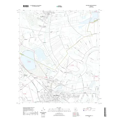
2020 Map of New Iberia North
USGS Topo · Published 2020About this map
Bayou Teche winds through the heart of Acadiana, anchoring a string of historic settlements from St. Martinville down to New Iberia. This 2020 survey reveals the modern landscape of the Bayou Teche National Paddle Trail corridor, where the water's influence is evident in the dense street grids and administrative centers like the Iberia Parish Courthouse. The map highlights a concentration of cultural and genealogical sites, including Saint Peter's Cem and the Nativity of Our Lady Mausoleum, reflecting the region's deep-rooted Catholic heritage.
Find a feature on this map
224 named features on this map. Tap any name to fly to it.
Don’t see what you’re looking for? This feature index may not catch every label — zoom into the map to look around manually.
Map Details
Editions of this 2020 New Iberia North Map
This is the sole edition of this map. No revisions or reprints were ever made.
Other maps of this area

1937 · Jeanerette
USGS Topo · 1:62,500

1937 · Derouen
USGS Topo · 1:62,500

1939 · St. Martinsville
USGS Topo · 1:62,500

1941 · Loreauville
USGS Topo · 1:62,500

1945 · New Orleans
USGS Topo · 1:250,000

1954 · Loreauville
USGS Topo · 1:62,500

1954 · Jeanerette
USGS Topo · 1:62,500

1954 · Baton Rouge
USGS Topo · 1:250,000

1956 · Baton Rouge
USGS Topo · 1:250,000

1957 · St. Martinville
USGS Topo · 1:62,500