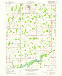
1961 Map of New Knoxville
USGS Topo · Published 1962About this map
The sprawling waters of Lake Loramie and the surrounding Loramie State Lake Park dominate the southern landscape of this early 1960s Ohio study. The map captures a transitional rural environment where traditional agricultural life meets mid-century infrastructure. A series of family-named cemeteries such as Pilger Ruhe Cem, Schwaberow Cem, and German Cem provide essential data for genealogical research across St Marys, Van Buren, and Jackson townships.
Find a feature on this map
65 named features on this map. Tap any name to fly to it.
Don’t see what you’re looking for? This feature index may not catch every label — zoom into the map to look around manually.
Map Details
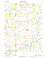
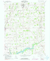
Editions of this 1961 New Knoxville Map
Other maps of this area

1906 · Lima
USGS Topo · 1:62,500

1909 · Loramie
USGS Topo · 1:62,500

1911 · Loramie
USGS Topo · 1:62,500

1911 · Spencerville
USGS Topo · 1:62,500

1913 · Sidney
USGS Topo · 1:62,500

1944 · Sidney
USGS Topo · 1:62,500

1944 · Loramie
USGS Topo · 1:62,500

1944 · Spencerville
USGS Topo · 1:62,500

1953 · Muncie
USGS Topo · 1:250,000

1956 · Muncie
USGS Topo · 1:250,000