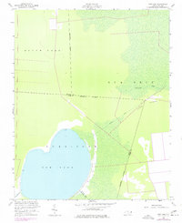
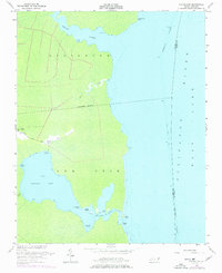
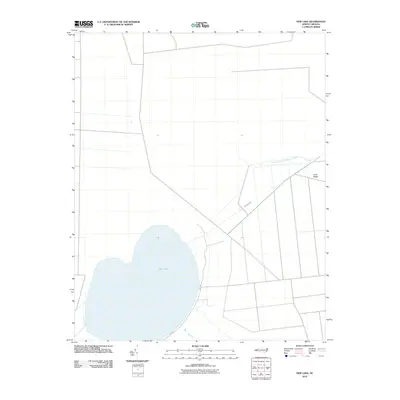
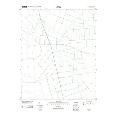
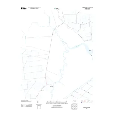
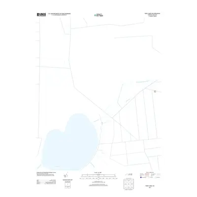
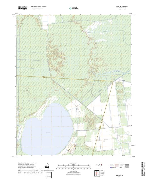
1954 Map of New Lake
USGS Topo · Published 1977About this map
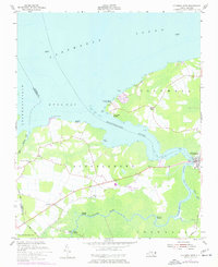
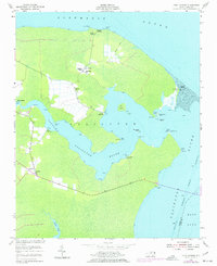
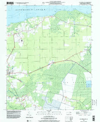
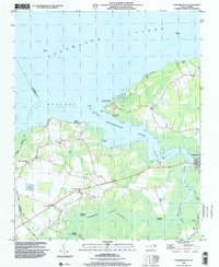
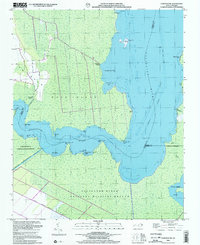
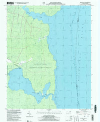
New Lake dominates this low-lying coastal landscape on the border of Tyrrell and Hyde Counties. The region is defined by an extensive network of drainage features, including the Dunbar Canal and Squyars Canal, which speak to early efforts to manage the wetlands for agricultural or transit purposes. Much of the surrounding area, such as Gum Neck and Long Ridge, appears as undeveloped marsh and timberland, reflecting the isolated character of the North Carolina tidewater during the mid-20th century.
Find a feature on this map
14 named features on this map. Tap any name to fly to it.
Don’t see what you’re looking for? This feature index may not catch every label — zoom into the map to look around manually.
Map Details
Editions of this 1954 New Lake Map
4 editions found
Historical Maps of Hyde County Through Time
58 maps found
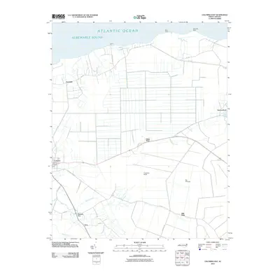
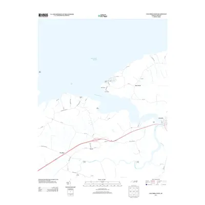
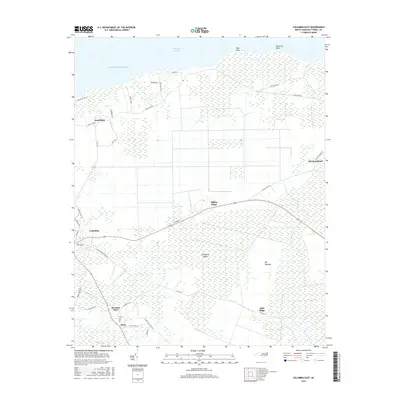
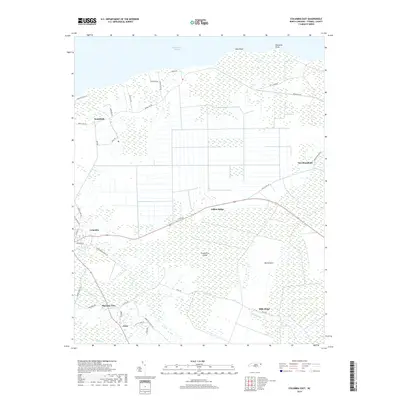
1953 Columbia East
Tyrrell County, NC
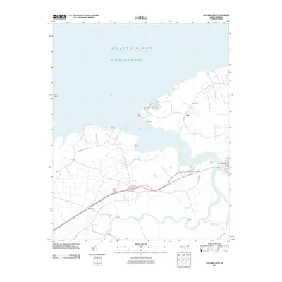
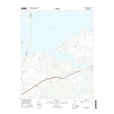
1953 Columbia West
Tyrrell County, NC
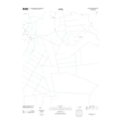
1953 Fairfield NE
Tyrrell County, NC
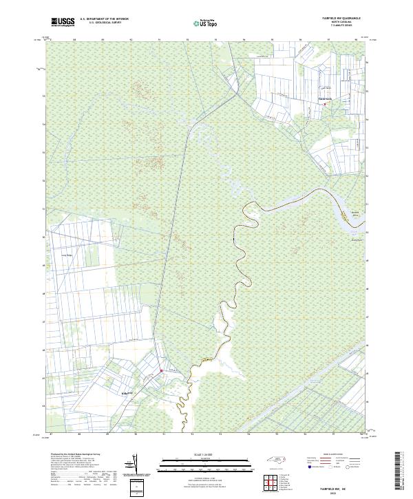
1953 Fairfield NW
Tyrrell County, NC
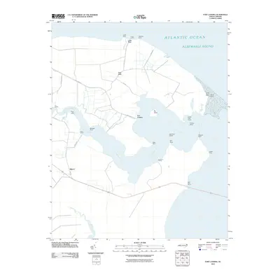
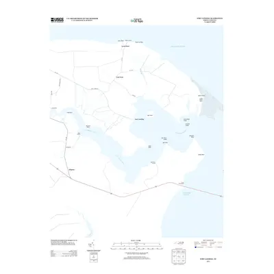
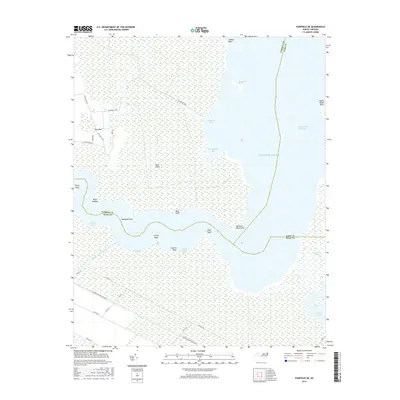
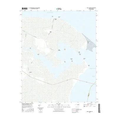
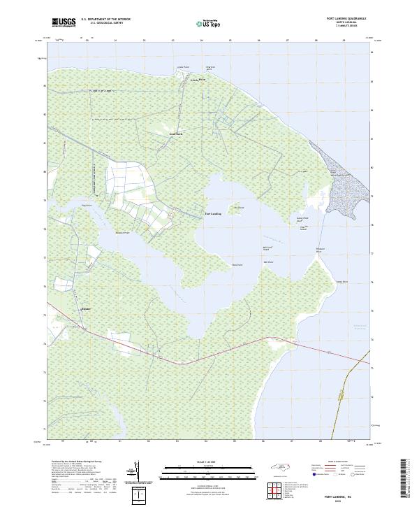
1953 Fort Landing
Tyrrell County, NC
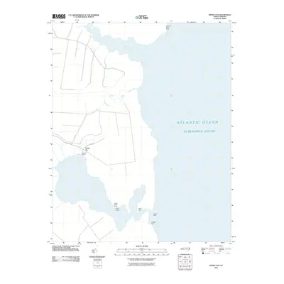
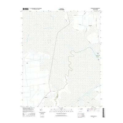
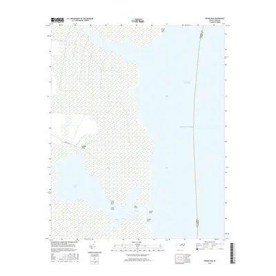
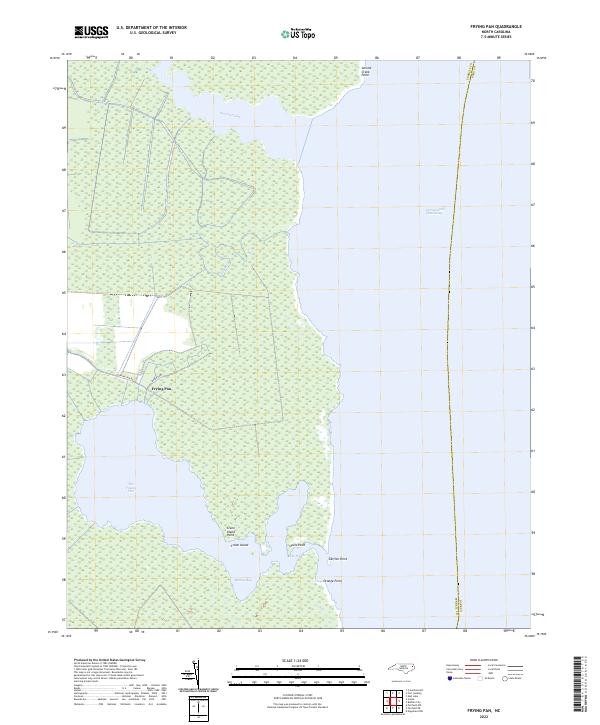
1953 Frying Pan
Tyrrell County, NC
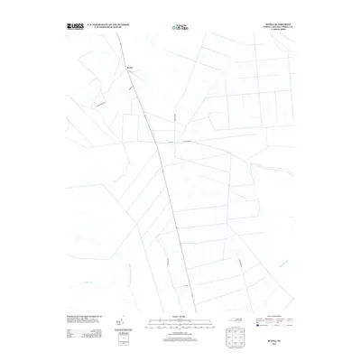
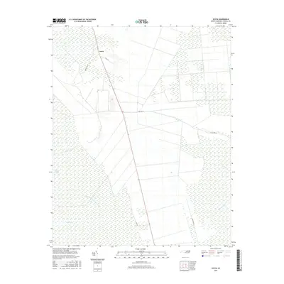
1953 Scotia
Tyrrell County, NC
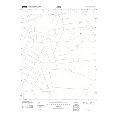
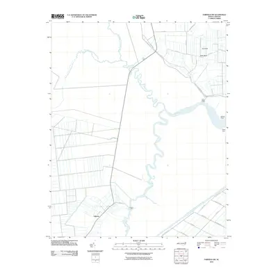
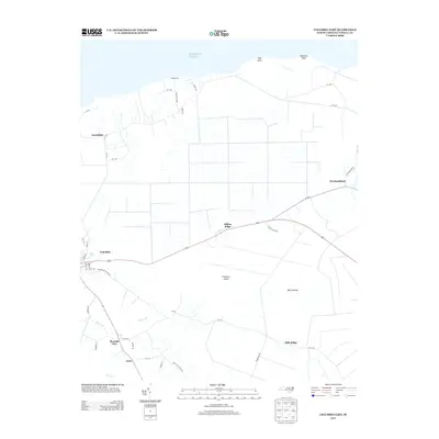
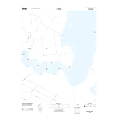
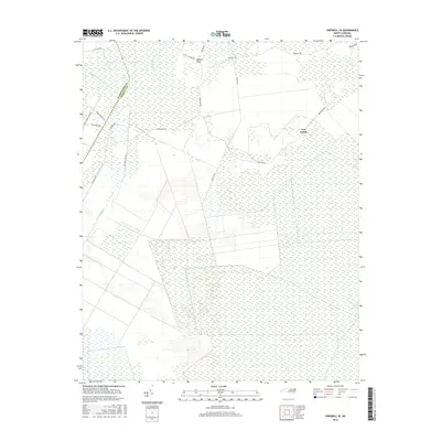
1954 Creswell SE
Tyrrell County, NC
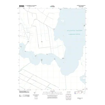
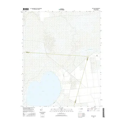
1954 New Lake
Tyrrell County, NC
1998 Columbia East
Tyrrell County, NC
1998 Columbia West
Tyrrell County, NC
2000 Fairfield NE
Tyrrell County, NC
2002 Frying Pan
Tyrrell County, NC
2010 Columbia East
Tyrrell County, NC
2010 Columbia West
Tyrrell County, NC
2010 Creswell SE
Tyrrell County, NC
2010 Fairfield NE
Tyrrell County, NC
2010 Fairfield NW
Tyrrell County, NC
2010 Fort Landing
Tyrrell County, NC
2010 Frying Pan
Tyrrell County, NC
2010 New Lake
Tyrrell County, NC
2010 Scotia
Tyrrell County, NC
2013 Columbia East
Tyrrell County, NC
2013 Columbia West
Tyrrell County, NC
2013 Creswell SE
Tyrrell County, NC
2013 Fairfield NE
Tyrrell County, NC
2013 Fairfield NW
Tyrrell County, NC
2013 Fort Landing
Tyrrell County, NC
2013 Frying Pan
Tyrrell County, NC
2013 New Lake
Tyrrell County, NC
2013 Scotia
Tyrrell County, NC
2016 Columbia East
Tyrrell County, NC
2016 Columbia West
Tyrrell County, NC
2016 Creswell SE
Tyrrell County, NC
2016 Fairfield NE
Tyrrell County, NC
2016 Fairfield NW
Tyrrell County, NC
2016 Fort Landing
Tyrrell County, NC
2016 Frying Pan
Tyrrell County, NC
2016 New Lake
Tyrrell County, NC
2016 Scotia
Tyrrell County, NC
2019 Columbia East
Tyrrell County, NC
2019 Columbia West
Tyrrell County, NC
2019 Creswell SE
Tyrrell County, NC
2019 Fairfield NE
Tyrrell County, NC
2019 Fairfield NW
Tyrrell County, NC
2019 Fort Landing
Tyrrell County, NC
2019 Frying Pan
Tyrrell County, NC
2019 New Lake
Tyrrell County, NC
2019 Scotia
Tyrrell County, NC
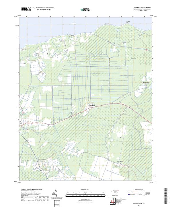
2022 Columbia East
Tyrrell County, NC
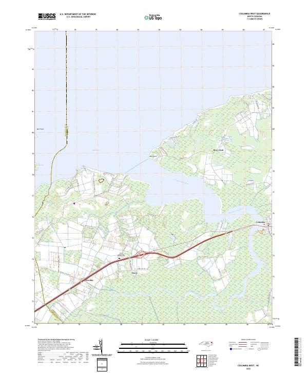
2022 Columbia West
Tyrrell County, NC
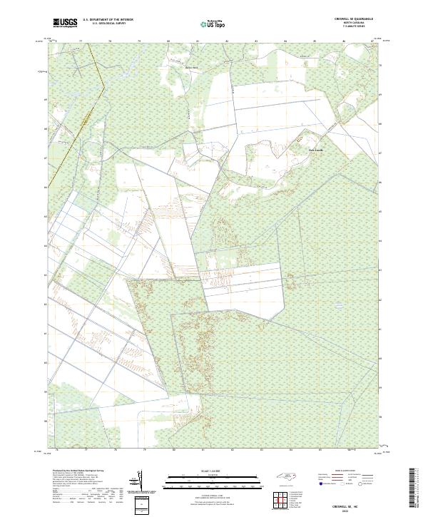
2022 Creswell SE
Tyrrell County, NC
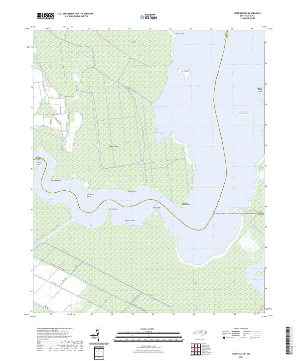
2022 Fairfield NE
Tyrrell County, NC
2022 Fairfield NW
Tyrrell County, NC
2022 Fort Landing
Tyrrell County, NC
2022 Frying Pan
Tyrrell County, NC
2022 New Lake
Tyrrell County, NC
2022 Scotia
Tyrrell County, NC