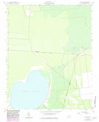
1954 Map of New Lake
USGS Topo · Published 1983About this map
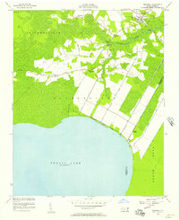
New Lake dominates this coastal North Carolina landscape, where the Tyrrell Co Hyde Co Approximate Boundary cuts through thick woodland and marsh. The map records a complex hydrologic network of hand-dug and industrial waterways, including the Dunbar Canal and the Squyars Canal, which were essential for managing the water levels of the surrounding wetlands. Along the eastern edge of the lake, researchers can identify Ruins situated near the intersection of the New Lake Fork and the canal systems, hinting at former habitation or agricultural structures in this low-lying area. The rise of Long Ridge to the northeast provides a subtle topographical contrast to the surrounding flats and the Southwest Fork drainage. This 1954 survey, updated in the early 1980s, documents the persisting isolation and specialized drainage infrastructure of the inner Coastal Plain.
Find a feature on this map
10 named features on this map. Tap any name to fly to it.
Don’t see what you’re looking for? This feature index may not catch every label — zoom into the map to look around manually.
Map Details
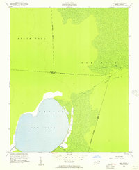
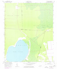
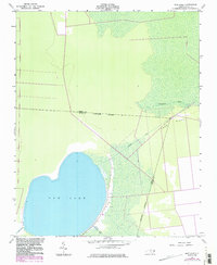
Editions of this 1954 New Lake Map
4 editions found
Other maps of this area

1943 · Columbia
USGS Topo · 1:125,000

1951 · Fairfield
USGS Topo · 1:24,000

1951 · Ponzer
USGS Topo · 1:24,000

1951 · New Lake SE
USGS Topo · 1:24,000

1953 · Scotia
USGS Topo · 1:24,000

1953 · Fairfield NW
USGS Topo · 1:24,000

1953 · Rocky Mount
USGS Topo · 1:250,000

1954 · Rocky Mount
USGS Topo · 1:250,000
1954 · Creswell
USGS Topo · 1:24,000
1954 · Creswell SE
USGS Topo · 1:24,000