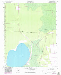
1954 Map of New Lake
USGS Topo · Published 1986About this map
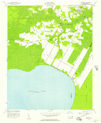
New Lake dominates this coastal North Carolina landscape, where the shifting boundaries of Tyrrell and Hyde counties meet amidst a complex network of man-made waterways. Originally surveyed in 1951, the map reveals an environment defined by reclamation and drainage efforts, visible in the straight lines of the Long Ridge Canal, Dunbar Canal, and the Squyars Canal. These features, along with the Old State Canal, illustrate the long history of attempting to manage the wetlands surrounding the lake.
Find a feature on this map
10 named features on this map. Tap any name to fly to it.
Don’t see what you’re looking for? This feature index may not catch every label — zoom into the map to look around manually.
Map Details
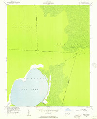
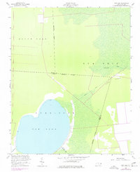
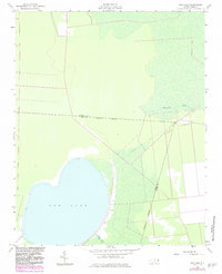
Editions of this 1954 New Lake Map
4 editions found
Other maps of this area

1943 · Columbia
USGS Topo · 1:125,000

1951 · Fairfield
USGS Topo · 1:24,000

1951 · Ponzer
USGS Topo · 1:24,000

1951 · New Lake SE
USGS Topo · 1:24,000

1953 · Scotia
USGS Topo · 1:24,000

1953 · Fairfield NW
USGS Topo · 1:24,000

1953 · Rocky Mount
USGS Topo · 1:250,000

1954 · Rocky Mount
USGS Topo · 1:250,000
1954 · Creswell
USGS Topo · 1:24,000
1954 · Creswell SE
USGS Topo · 1:24,000