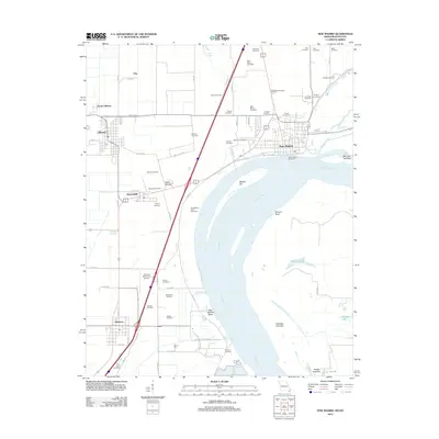
2012 Map of New Madrid
USGS Topo · Published 2012About this map
The Mississippi River defines the landscape of this 2012 survey, carving the distinctive New Madrid Bend and shaping the alluvial plains of the Missouri Bootheel. The historic town of New Madrid sits prominently on the river's edge, protected by the New Madrid Revetment. The surrounding agricultural landscape is densely populated with small family and community burial grounds, including the Mounds Cemetery, Saint Marys Cemetery, and Evergreen Cemetery, many located near established settlements like Howardville and Lilbourn.
Find a feature on this map
82 named features on this map. Tap any name to fly to it.
Don’t see what you’re looking for? This feature index may not catch every label — zoom into the map to look around manually.
Map Details
Editions of this 2012 New Madrid Map
This is the sole edition of this map. No revisions or reprints were ever made.
Other maps of this area

1925 · Reelfoot Lake
USGS Topo · 1:62,500

1939 · Reelfoot Lake
USGS Topo · 1:62,500

1939 · Portageville
USGS Topo · 1:62,500

1939 · New Madrid
USGS Topo · 1:62,500

1939 · Bayouville
USGS Topo · 1:62,500

1951 · New Madrid SE
USGS Topo · 1:24,000

1951 · Hubbard Lake
USGS Topo · 1:24,000

1954 · New Madrid
USGS Topo · 1:62,500

1955 · Portageville
USGS Topo · 1:62,500

1955 · Bayouville
USGS Topo · 1:62,500