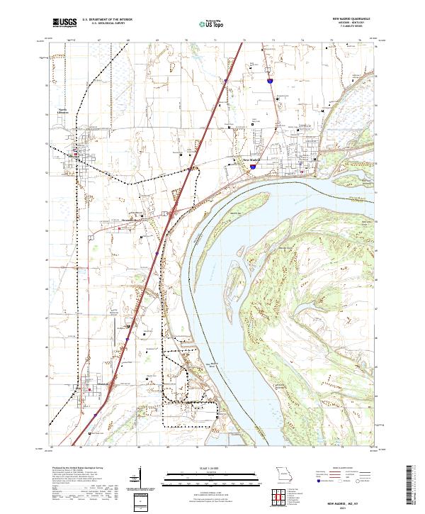
2021 Map of New Madrid
USGS Topo · Published 2021About this map
The Mississippi River creates a dramatic loop at the New Madrid Bend, defining the geography of this Missouri-Kentucky borderland. In this river-dominated landscape, the city of New Madrid serves as a focal point, anchored by the New Madrid County Courthouse near the riverfront. The town layout is characterized by streets named for states and historical figures, while the surrounding alluvial plain is dotted with numerous family and community burial grounds, such as Saint Marys Cem and Evergreen Cem, which provide significant data for genealogical research.
Find a feature on this map
80 named features on this map. Tap any name to fly to it.
Don’t see what you’re looking for? This feature index may not catch every label — zoom into the map to look around manually.
Map Details
Editions of this 2021 New Madrid Map
This is the sole edition of this map. No revisions or reprints were ever made.
Other maps of this area

1925 · Reelfoot Lake
USGS Topo · 1:62,500

1939 · Reelfoot Lake
USGS Topo · 1:62,500

1939 · Portageville
USGS Topo · 1:62,500

1939 · New Madrid
USGS Topo · 1:62,500

1939 · Bayouville
USGS Topo · 1:62,500

1951 · New Madrid SE
USGS Topo · 1:24,000

1951 · Hubbard Lake
USGS Topo · 1:24,000

1954 · New Madrid
USGS Topo · 1:62,500

1955 · Portageville
USGS Topo · 1:62,500

1955 · Bayouville
USGS Topo · 1:62,500