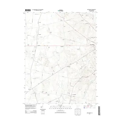
2013 Map of New Market
USGS Topo · Published 2013About this map
The agricultural valleys of Highland County are defined by a network of family farms and creek systems in the early 21st century. High ground like Horner Hill and Pea Ridge overlooks a landscape dominated by historic rural settlements such as New Market, Hoagland, and Shackleton. The area's genealogical history is remarkably well-preserved through numerous burial grounds, ranging from the numbered Fenner sites to the Old Dutch and Mt Zion cemeteries.
Find a feature on this map
105 named features on this map. Tap any name to fly to it.
Don’t see what you’re looking for? This feature index may not catch every label — zoom into the map to look around manually.
Map Details
Editions of this 2013 New Market Map
This is the sole edition of this map. No revisions or reprints were ever made.
Other maps of this area

1907 · Blanchester
USGS Topo · 1:62,500

1917 · Hillsboro
USGS Topo · 1:62,500

1917 · Sabina
USGS Topo · 1:62,500

1917 · Sardinia
USGS Topo · 1:62,500

1943 · Sabina
USGS Topo · 1:62,500

1944 · Hillsboro
USGS Topo · 1:62,500

1944 · Sardinia
USGS Topo · 1:62,500

1947 · Columbus
USGS Topo · 1:250,000
1960 · Lynchburg
USGS Topo · 1:24,000

1960 · Martinsville
USGS Topo · 1:24,000