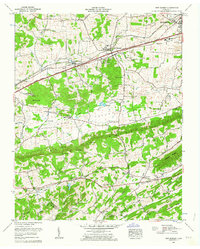
1961 Map of New Market
USGS Topo · Published 1963About this map
Jefferson City and the surrounding Tennessee countryside are defined here by a mix of agricultural valley land and industrial extraction. The Southern Railway and Andrew Johnson Highway form a primary transportation corridor through New Market, passing by several active mining operations including the Grasselli Mine, Young Mine, and the North Friends Station Mine near the western edge. These industrial sites are contrasted by the rural landscape of the southern quadrangle, where Rocky Mountain and Shields Ridge rise above small communities like Piedmont and Willardtown. A historic French Mill stands along Dumplin Creek, signaling the persistence of older economic patterns even as large-scale tailings ponds expand near the city. This 1961 revision provides a clear record of local genealogy through numerous family-named landmarks and churchyards, such as Wooten Chapel Cem and Caldwell Cem, which are scattered throughout the valley floors of Lost Creek and Tuckahoe Creek.
Find a feature on this map
62 named features on this map. Tap any name to fly to it.
Don’t see what you’re looking for? This feature index may not catch every label — zoom into the map to look around manually.
Map Details
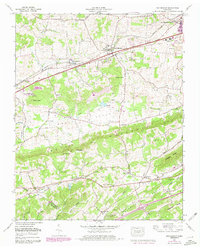
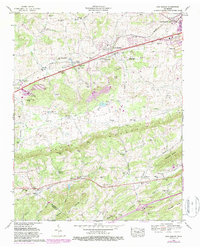
Editions of this 1961 New Market Map
3 editions found
Other maps of this area

1883 · Morristown
USGS Topo · 1:125,000

1886 · Knoxville
USGS Topo · 1:125,000

1892 · Knoxville
USGS Topo · 1:125,000

1893 · Mt Guyot
USGS Topo · 1:125,000

1893 · Morristown
USGS Topo · 1:125,000

1894 · Knoxville
USGS Topo · 1:125,000

1895 · Morristown
USGS Topo · 1:125,000

1895 · Knoxville
USGS Topo · 1:125,000

1897 · Maynardville
USGS Topo · 1:125,000

1900 · Maynardville
USGS Topo · 1:125,000