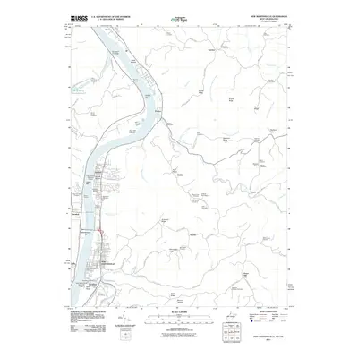
2011 Map of New Martinsville
USGS Topo · Published 2011About this map
New Martinsville and the Ohio River corridor define this 2011 topographic record of the West Virginia-Ohio borderlands. The industrial and transportation character of the riverfront is evident through specialized infrastructure like the New Martinsville Seaplane Base, the New Martinsville Marina, and the P W Johnson Memorial Airport. Beyond the urban centers of Steelton and Brooklyn, the landscape transitions into a series of deeply dissected ridges, including American Ridge and Proctor Ridge, which are dotted with family and community burial grounds such as Huff Family Cemetery and the Schupbach Cemetery. The presence of 3b 3a Slurry Impoundments 3 near Opossum Creek illustrates the industrial utility of the terrain adjacent to traditional rural settlements like Proctor and Natrium. This survey captures the complex layers of the Ohio Valley, where river-dependent commerce meets the legacy of upland farming and family genealogy.
Find a feature on this map
122 named features on this map. Tap any name to fly to it.
Don’t see what you’re looking for? This feature index may not catch every label — zoom into the map to look around manually.
Map Details
Editions of this 2011 New Martinsville Map
This is the sole edition of this map. No revisions or reprints were ever made.
Other maps of this area

1903 · Littleton
USGS Topo · 1:62,500

1904 · Cameron
USGS Topo · 1:62,500

1905 · Littleton
USGS Topo · 1:62,500

1905 · Clarington
USGS Topo · 1:62,500

1906 · New Martinsville
USGS Topo · 1:62,500

1924 · New Martinsville
USGS Topo · 1:62,500

1924 · Littleton
USGS Topo · 1:62,500

1926 · Littleton
USGS Topo · 1:62,500

1926 · New Martinsville
USGS Topo · 1:62,500

1935 · Cameron
USGS Topo · 1:62,500