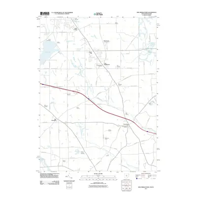
2011 Map of New Middletown
USGS Topo · Published 2011About this map
New Middletown and Petersburg serve as the primary hubs in this corner of Columbiana County, where the landscape is defined by the headwaters of the North Fork Little Beaver Creek and several significant reservoirs. For genealogists and local historians, this survey provides a dense network of burial grounds including Old Petersburg Cemetery, Schroy Cemetery, and the Beard Road Cemetery. The presence of Evans Lake and Collier Lake, both controlled by dams, reflects a region shaped by water management and recreational development. Aviation history is quietly preserved here through smaller facilities like Richey Airport, Petersburg Airport, and Morris Airport, which are tucked away amongst the rural road grids of New Springfield and Ginger Hill.
Find a feature on this map
79 named features on this map. Tap any name to fly to it.
Don’t see what you’re looking for? This feature index may not catch every label — zoom into the map to look around manually.
Map Details
Editions of this 2011 New Middletown Map
This is the sole edition of this map. No revisions or reprints were ever made.
Other maps of this area

1902 · New Castle
USGS Topo · 1:62,500

1904 · Newcastle
USGS Topo · 1:62,500

1905 · Neshannock
USGS Topo · 1:62,500

1906 · Youngstown
USGS Topo · 1:62,500

1907 · Neshannock
USGS Topo · 1:62,500

1907 · Columbiana
USGS Topo · 1:62,500

1908 · Youngstown
USGS Topo · 1:62,500

1909 · Columbiana
USGS Topo · 1:62,500

1950 · Cleveland
USGS Topo · 1:250,000

1951 · Canton
USGS Topo · 1:250,000