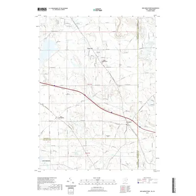
2019 Map of New Middletown
USGS Topo · Published 2019About this map
The borderlands of eastern Ohio and western Pennsylvania meet in this survey, where the township roads of Mahoning and Columbiana counties weave through a landscape of headwater creeks and rural hubs. New Middletown and Petersburg serve as primary anchors, connected by the historical Youngstown Pittsburgh Rd. This area is characterized by its numerous small burial grounds, such as Bethel Cem and the Old Petersburg Cem, which offer significant value for genealogists tracing early families in Springfield Township. The northern reaches are dominated by Evans Lake and Collier Lake, while the southern terrain is defined by the winding course of the N Fork Little Beaver Cr. Notable landmarks like the Petersburg Airport and the distinctively named Ginger Hill provide clear reference points for those studying the 21st-century development of this agricultural and residential corridor.
Find a feature on this map
110 named features on this map. Tap any name to fly to it.
Don’t see what you’re looking for? This feature index may not catch every label — zoom into the map to look around manually.
Map Details
Editions of this 2019 New Middletown Map
This is the sole edition of this map. No revisions or reprints were ever made.
Other maps of this area

1902 · New Castle
USGS Topo · 1:62,500

1904 · Newcastle
USGS Topo · 1:62,500

1905 · Neshannock
USGS Topo · 1:62,500

1906 · Youngstown
USGS Topo · 1:62,500

1907 · Neshannock
USGS Topo · 1:62,500

1907 · Columbiana
USGS Topo · 1:62,500

1908 · Youngstown
USGS Topo · 1:62,500

1909 · Columbiana
USGS Topo · 1:62,500

1950 · Cleveland
USGS Topo · 1:250,000

1951 · Canton
USGS Topo · 1:250,000