
1904 Map of New Milford
USGS Topo · Published 1904About this map
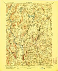
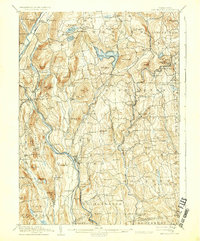
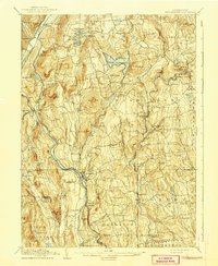
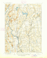
The Housatonic River carves a deep valley through Litchfield County, serving as the primary corridor for the Berkshire Division of the New York New Haven and Hartford railroad. This river-and-rail economy is anchored by New Milford, where the landscape transitions from the steep slopes of Guarding Hill and Kent Mountain to the active agricultural and industrial centers of the late nineteenth century. In the northern reaches, Lake Waramaug is surrounded by high peaks like Mt Bushnell and The Pinnacle, with the nearby settlement of New Preston established along its drainages.
Find a feature on this map
110 named features on this map. Tap any name to fly to it.
Don’t see what you’re looking for? This feature index may not catch every label — zoom into the map to look around manually.
Map Details
Editions of this 1904 New Milford Map
8 editions found
Other maps of this area

1889 · Derby
USGS Topo · 1:62,500

1891 · Derby
USGS Topo · 1:62,500

1892 · Winsted
USGS Topo · 1:62,500

1892 · Danbury
USGS Topo · 1:62,500

1892 · Cornwall
USGS Topo · 1:62,500

1892 · New Milford
USGS Topo · 1:62,500

1892 · Carmel
USGS Topo · 1:62,500

1893 · Carmel
USGS Topo · 1:62,500

1893 · Waterbury
USGS Topo · 1:62,500

1893 · New Milford
USGS Topo · 1:62,500