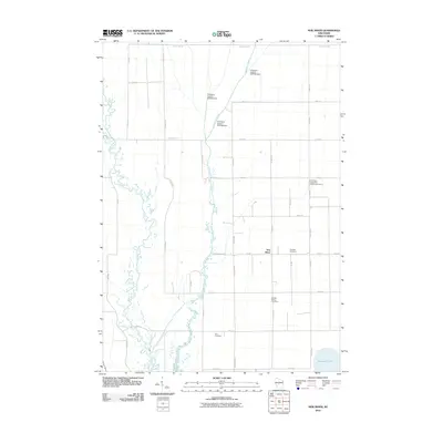
2010 Map of New Miner
USGS Topo · Published 2010About this map
The New Miner settlement serves as a central point in this rural landscape, where the meandering course of the Yellow River contrasts with a series of engineered water controls. The drainage of Cranberry Creek is heavily modified by several water management structures, including Cranberry Creek 2 2WP194 Dam, Cranberry Creek 3 2WP194 Dam, and Cranberry Creek 5 2WP194 Dam, illustrating the area's specialized hydraulic history. Local family and community roots are well-documented through numerous burial grounds scattered across the terrain, notably Saint Pauls Evangelical Lutheran Cemetery, Novotny Cemetery, Searles Prairie Cemetery, and Zion Cemetery. In the southeast, the shoreline of Petenwell Lake emerges, while a regular grid of roads like County Hwy-G and 17th Ave N organizes the agricultural and forested parcels between the waterways.
Find a feature on this map
38 named features on this map. Tap any name to fly to it.
Don’t see what you’re looking for? This feature index may not catch every label — zoom into the map to look around manually.
Map Details
Editions of this 2010 New Miner Map
This is the sole edition of this map. No revisions or reprints were ever made.
Other maps of this area

1953 · Eau Claire
USGS Topo · 1:250,000

1955 · Green Bay
USGS Topo · 1:250,000

1957 · Wisconsin Rapids
USGS Topo · 1:48,000

1957 · Pittsville
USGS Topo · 1:48,000

1958 · Eau Claire
USGS Topo · 1:250,000

1958 · Arkdale
USGS Topo · 1:48,000

1958 · Necedah
USGS Topo · 1:48,000

1964 · Eau Claire
USGS Topo · 1:250,000

1967 · Wisconsin Rapids
USGS Topo · 1:62,500

1967 · Pittsville
USGS Topo · 1:62,500