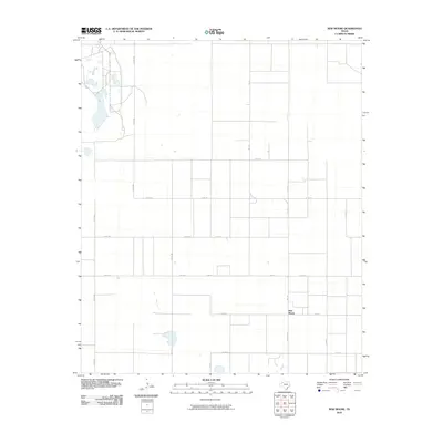
2010 Map of New Moore
USGS Topo · Published 2010About this map
New Moore serves as the primary focal point of this West Texas landscape, situated at the intersection of several significant regional thoroughfares. The local economy and travel patterns are defined by a rigid grid of agricultural roads, including Farm Rd 179 and Fm 213, which facilitate movement across the flat plains of Lynn County. These arteries connect the small settlement to outlying sections via routes like Co Rd 595 and Co Rd 705. The map illustrates a highly organized rural infrastructure, where water features appear as scattered, isolated basins amidst the vast stretches of land marked by Co Rd 30 and Co Rd 620. This 2010 survey reflects a period of modern agricultural development where the traditional section-line road system remains the dominant geographic signature of the High Plains.
Find a feature on this map
19 named features on this map. Tap any name to fly to it.
Don’t see what you’re looking for? This feature index may not catch every label — zoom into the map to look around manually.
Map Details
Editions of this 2010 New Moore Map
This is the sole edition of this map. No revisions or reprints were ever made.
Other maps of this area

1954 · Lubbock
USGS Topo · 1:250,000

1954 · Hobbs
USGS Topo · 1:250,000

1954 · Big Spring
USGS Topo · 1:250,000

1954 · Brownfield
USGS Topo · 1:250,000

1958 · Brownfield
USGS Topo · 1:250,000

1958 · Big Spring
USGS Topo · 1:250,000

1958 · Hobbs
USGS Topo · 1:250,000

1962 · Brownfield
USGS Topo · 1:250,000

1969 · Brownfield East
USGS Topo · 1:24,000

1969 · Welch East
USGS Topo · 1:24,000