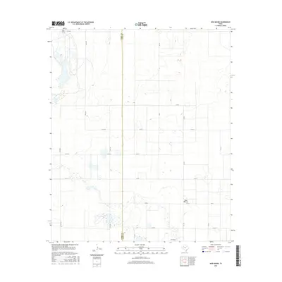
2016 Map of New Moore
USGS Topo · Published 2016About this map
New Moore sits at a crossroads in the High Plains, where the agricultural grid of Lynn County meets the Terry Co Lynn Co boundary. This high desert landscape is defined by the intermittent passage of Lost Draw, a dry watercourse that winds through the southern portion of the quadrangle, occasionally pooling into scattered depressions and wetlands. The settlement of New Moore is the primary focal point, served by a network of farm-to-market roads including Fm 213 and Fm 179. The map reveals a highly structured rural environment, where section lines are traced by local routes like Co Rd 630 and Co Rd 30, illustrating the expansive land management practices of West Texas. Subtle elevation changes and the presence of seasonal water features in the draw suggest the traditional drainage patterns of the Llano Estacado before the terrain reaches the more populated centers of the region.
Find a feature on this map
22 named features on this map. Tap any name to fly to it.
Don’t see what you’re looking for? This feature index may not catch every label — zoom into the map to look around manually.
Map Details
Editions of this 2016 New Moore Map
This is the sole edition of this map. No revisions or reprints were ever made.
Other maps of this area

1954 · Lubbock
USGS Topo · 1:250,000

1954 · Hobbs
USGS Topo · 1:250,000

1954 · Big Spring
USGS Topo · 1:250,000

1954 · Brownfield
USGS Topo · 1:250,000

1958 · Brownfield
USGS Topo · 1:250,000

1958 · Big Spring
USGS Topo · 1:250,000

1958 · Hobbs
USGS Topo · 1:250,000

1962 · Brownfield
USGS Topo · 1:250,000

1969 · Brownfield East
USGS Topo · 1:24,000

1969 · Welch East
USGS Topo · 1:24,000