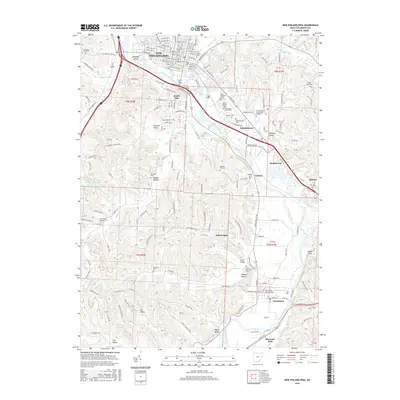
2016 Map of New Philadelphia
USGS Topo · Published 2016About this map
New Philadelphia sits at a strategic bend of the Tuscarawas River, where the historic Ohio Canal once traced the valley floor. This 2016 survey shows the modern footprint of the city alongside its foundational heritage, including Evergreen Burial Park and the nearby Schoenbrunn area. The landscape is deeply carved by tributary valleys such as Hummel Valley and Sharon Valley, reflecting a settlement pattern that follows the creek bottoms of Beaverdam Cr and Oldtown Cr.
Find a feature on this map
97 named features on this map. Tap any name to fly to it.
Don’t see what you’re looking for? This feature index may not catch every label — zoom into the map to look around manually.
Map Details
Editions of this 2016 New Philadelphia Map
This is the sole edition of this map. No revisions or reprints were ever made.
Other maps of this area

1909 · Uhrichsville
USGS Topo · 1:62,500

1911 · Uhrichsville
USGS Topo · 1:62,500

1911 · Newcomerstown
USGS Topo · 1:62,500

1912 · Dover
USGS Topo · 1:62,500

1913 · Newcomerstown
USGS Topo · 1:62,500

1914 · Navarre
USGS Topo · 1:62,500

1943 · Newcomerstown
USGS Topo · 1:62,500

1944 · Navarre
USGS Topo · 1:62,500

1944 · Dover
USGS Topo · 1:62,500

1951 · Canton
USGS Topo · 1:250,000