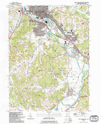
1993 Map of New Philadephia
USGS Topo · Published 1994About this map
The Tuscarawas River carves a winding path through this portion of Ohio, anchoring the urban center of New Philadelphia and its industrial fringes. The landscape is a complex mix of early 19th-century history and late 20th-century development, evidenced by the proximity of the Schoenbrunn Village State Memorial to modern infrastructure like the New Towne Mall and the Kent State University (Tuscarawas Branch). Remnants of the region's transport evolution are visible in the Ohio Canal (Abandoned) and the Old Railroad Grade, tracing routes that once connected these river towns to wider markets.
Find a feature on this map
81 named features on this map. Tap any name to fly to it.
Don’t see what you’re looking for? This feature index may not catch every label — zoom into the map to look around manually.
Map Details
Editions of this 1993 New Philadephia Map
This is the sole edition of this map. No revisions or reprints were ever made.
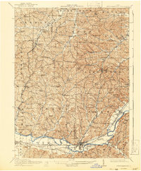
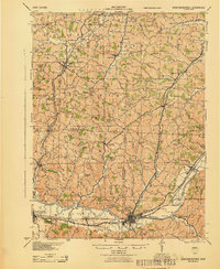
Other maps of this area

1909 · Uhrichsville
USGS Topo · 1:62,500

1911 · Uhrichsville
USGS Topo · 1:62,500

1911 · Newcomerstown
USGS Topo · 1:62,500

1912 · Dover
USGS Topo · 1:62,500
1913 · Newcomerstown
USGS Topo · 1:62,500

1914 · Navarre
USGS Topo · 1:62,500
1943 · Newcomerstown
USGS Topo · 1:62,500

1944 · Navarre
USGS Topo · 1:62,500

1944 · Dover
USGS Topo · 1:62,500

1951 · Canton
USGS Topo · 1:250,000