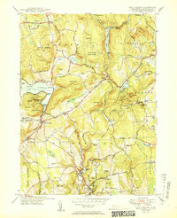
1950 Map of New Preston
USGS Topo · Published 1950About this map
Lake Waramaug serves as a focal point for this western Connecticut landscape, surrounded by points like Randalls Pt and Marks Hollow Point. The mid-century topography reveals a mix of agricultural land and wooded hillsides, with the Shepaug River valley carving through the center of the sheet. Regional recreation and education are well-established, visible through the Washington Golf Course, Gunnery Sch, and several state protected lands including Mt Tom State Park and Wyantenock State Forest.
Find a feature on this map
85 named features on this map. Tap any name to fly to it.
Don’t see what you’re looking for? This feature index may not catch every label — zoom into the map to look around manually.
Map Details
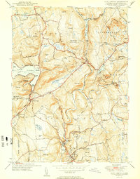
Editions of this 1950 New Preston Map
2 editions found
Other maps of this area

1892 · Winsted
USGS Topo · 1:62,500

1892 · Cornwall
USGS Topo · 1:62,500

1892 · New Milford
USGS Topo · 1:62,500

1893 · Waterbury
USGS Topo · 1:62,500

1893 · New Milford
USGS Topo · 1:62,500

1893 · Cornwall
USGS Topo · 1:62,500

1903 · Cornwall
USGS Topo · 1:62,500

1904 · New Milford
USGS Topo · 1:62,500

1904 · Waterbury
USGS Topo · 1:62,500

1904 · Litchfield
USGS Topo · 1:125,000