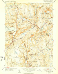
1950 Map of New Preston
USGS Topo · Published 1950About this map
Waramaug Lake and the winding Shepaug River define the character of this mid-century Litchfield County landscape. The settlement patterns of Washington Depot and New Preston are clearly established along the valleys, while the surrounding uplands are marked by numerous named peaks like Mount Bushnell and Tanner Hill. This 1950 edition captures the region as a destination for outdoor recreation and education, featuring Mt Tom State Park and Wyantenock State Forest alongside institutional landmarks like the Gunnery Sch and Tuller Sch. Local genealogy and history are preserved through the locations of the New Preston Hill Ch, Romford Cem, and Judea Cem. The map's detailed road network, including Telephone Road and Flirtation Ave, illustrates the connectivity between these small Connecticut villages before the era of major interstate expansion.
Find a feature on this map
92 named features on this map. Tap any name to fly to it.
Don’t see what you’re looking for? This feature index may not catch every label — zoom into the map to look around manually.
Map Details
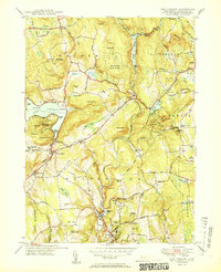
Editions of this 1950 New Preston Map
2 editions found
Other maps of this area

1892 · Winsted
USGS Topo · 1:62,500

1892 · Cornwall
USGS Topo · 1:62,500

1892 · New Milford
USGS Topo · 1:62,500

1893 · Waterbury
USGS Topo · 1:62,500

1893 · New Milford
USGS Topo · 1:62,500

1893 · Cornwall
USGS Topo · 1:62,500

1903 · Cornwall
USGS Topo · 1:62,500

1904 · New Milford
USGS Topo · 1:62,500

1904 · Waterbury
USGS Topo · 1:62,500

1904 · Litchfield
USGS Topo · 1:125,000