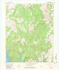
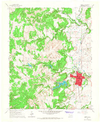
1966 Map of New Prue
USGS Topo · Published 1982About this map
New Prue stands as the primary settlement on this Osage County landscape, situated near the northern banks of the recently created Keystone Lake. The map captures a moment in the mid-1960s where the shoreline of the reservoir, noted at its normal pool elevation of 723 feet, redefines the local geography along the Arkansas River and Jordan Valley. This influx of water is met by a complex network of industrial activity, most notably the East Osage City Oil Field and the Madalene Oil Field, which are marked by numerous oil wells and a web of connecting pipelines. The terrain is deeply dissected by drainage systems including Wildhorse Creek, Black Dog Creek, and Bear Creek, illustrating the intersection of Oklahoma's petroleum industry with the recreational development at Walnut Creek Peninsula Park.
Find a feature on this map
22 named features on this map. Tap any name to fly to it.
Don’t see what you’re looking for? This feature index may not catch every label — zoom into the map to look around manually.
Map Details
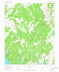
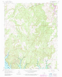
Editions of this 1966 New Prue Map
3 editions found
Other maps of this area

1912 · Hominy
USGS Topo · 1:125,000

1915 · Hominy
USGS Topo · 1:125,000

1915 · Hominy
USGS Topo · 1:62,500

1955 · Enid
USGS Topo · 1:250,000

1958 · Enid
USGS Topo · 1:250,000

1958 · Keystone Dam
USGS Topo · 1:24,000

1958 · Wekiwa
USGS Topo · 1:24,000

1966 · Cleveland
USGS Topo · 1:24,000
1966 · Avant NW
USGS Topo · 1:24,000
1966 · Hominy
USGS Topo · 1:24,000