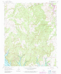
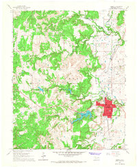
1966 Map of New Prue
USGS Topo · Published 1983About this map
New Prue stands as the primary settlement in this northern Oklahoma landscape, situated near the expanding reach of Keystone Lake. The area's mid-century character is defined by a dense network of petroleum extraction, with numerous Oil Wells and pipelines crossing the terrain. Extensive energy operations are organized into named zones including the Skiatook Oil Field, East Osage City Oil Field, and Madalene Oil Field.
Find a feature on this map
25 named features on this map. Tap any name to fly to it.
Don’t see what you’re looking for? This feature index may not catch every label — zoom into the map to look around manually.
Map Details
Editions of this 1966 New Prue Map
3 editions found
Other maps of this area

1912 · Hominy
USGS Topo · 1:125,000

1915 · Hominy
USGS Topo · 1:125,000

1915 · Hominy
USGS Topo · 1:62,500

1955 · Enid
USGS Topo · 1:250,000

1958 · Enid
USGS Topo · 1:250,000

1958 · Keystone Dam
USGS Topo · 1:24,000

1958 · Wekiwa
USGS Topo · 1:24,000

1966 · Cleveland
USGS Topo · 1:24,000
1966 · Avant NW
USGS Topo · 1:24,000
1966 · Hominy
USGS Topo · 1:24,000