
1950 Map of New Rockford
USGS Topo · Published 1950About this map
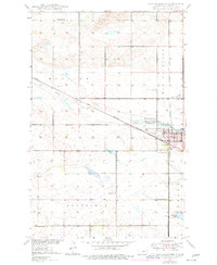
New Rockford serves as the focal point of this mid-century survey, situated at the junction of the Great Northern and Pacific Northern railroads. This intersection, along with the nearby Landing Field and local Country Club, highlights the town's role as a regional hub within Eddy County. The landscape is defined by the winding course of the James River, which cuts through the central townships, and the expansive State Game Refuge located just east of the main settlement.
Find a feature on this map
19 named features on this map. Tap any name to fly to it.
Don’t see what you’re looking for? This feature index may not catch every label — zoom into the map to look around manually.
Map Details
Editions of this 1950 New Rockford Map
3 editions found
Other maps of this area

1931 · Oberon
USGS Topo · 1:62,500

1932 · Flora
USGS Topo · 1:62,500

1948 · New Rockford
USGS Topo · 1:62,500

1948 · Cathay
USGS Topo · 1:62,500

1949 · Cathay SE
USGS Topo · 1:24,000

1949 · Munster
USGS Topo · 1:24,000

1950 · New Rockford NE
USGS Topo · 1:24,000

1950 · Oberon SW
USGS Topo · 1:24,000

1950 · Sheyenne
USGS Topo · 1:24,000
1950 · New Rockford SE
USGS Topo · 1:24,000