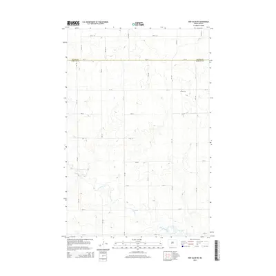
2014 Map of New Salem NE
USGS Topo · Published 2014About this map
Sweetbriar Creek meanders through this section of the North Dakota plains, marking a landscape defined by the drainage patterns of the Missouri River plateau. The map captures the rural transition at the Oliver Co and Morton Co boundary, where a strictly rectangular grid of section-line roads, such as 29th St SW and 43rd Ave, imposes order on the undulating terrain. To the north, the small Bremen Cem stands as a solitary landmark of the area's early settlement history. In the southeast, the terrain descends toward Sweet Briar Lake, a significant water feature that breaks the pattern of dry coulees and agricultural reaches. This 2014 survey document details the modern infrastructure and topography of a region centered on late-twentieth-century rural development and prairie hydrology.
Find a feature on this map
25 named features on this map. Tap any name to fly to it.
Don’t see what you’re looking for? This feature index may not catch every label — zoom into the map to look around manually.
Map Details
Editions of this 2014 New Salem NE Map
This is the sole edition of this map. No revisions or reprints were ever made.
Other maps of this area

1954 · Bismarck
USGS Topo · 1:250,000

1954 · McClusky
USGS Topo · 1:250,000

1958 · Bismarck
USGS Topo · 1:250,000

1958 · McClusky
USGS Topo · 1:250,000

1960 · New Salem
USGS Topo · 1:24,000

1970 · New Salem NW
USGS Topo · 1:24,000

1970 · Judson
USGS Topo · 1:24,000

1970 · New Salem NE
USGS Topo · 1:24,000

1972 · Sweet Briar
USGS Topo · 1:24,000

1972 · Center
USGS Topo · 1:24,000