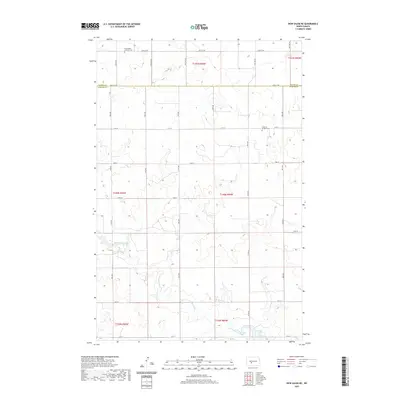
2020 Map of New Salem NE
USGS Topo · Published 2020About this map
The rolling grasslands of the North Dakota plains define this landscape at the intersection of the Oliver Co Morton Co line. The terrain is deeply etched by the meandering path of Sweetbriar Creek, which flows southeast toward the recreation-rich Sweet Briar Lake in the southern portion of the quadrangle. This drainage pattern reveals the natural contours of the prairie before it reaches the larger river valleys of the region.
Find a feature on this map
21 named features on this map. Tap any name to fly to it.
Don’t see what you’re looking for? This feature index may not catch every label — zoom into the map to look around manually.
Map Details
Editions of this 2020 New Salem NE Map
This is the sole edition of this map. No revisions or reprints were ever made.
Other maps of this area

1954 · Bismarck
USGS Topo · 1:250,000

1954 · McClusky
USGS Topo · 1:250,000

1958 · Bismarck
USGS Topo · 1:250,000

1958 · McClusky
USGS Topo · 1:250,000

1960 · New Salem
USGS Topo · 1:24,000

1970 · New Salem NW
USGS Topo · 1:24,000

1970 · Judson
USGS Topo · 1:24,000

1970 · New Salem NE
USGS Topo · 1:24,000

1972 · Sweet Briar
USGS Topo · 1:24,000

1972 · Center
USGS Topo · 1:24,000