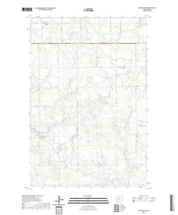
2024 Map of New Salem NE
USGS Topo · Published 2024About this map
Churchtown Lutheran Cem and Lutheran Bremen Cem stand as enduring landmarks in this rural landscape at the border of Oliver and Morton counties. The terrain is defined by the winding course of Sweetbriar Creek, which cuts through the undulating topography in the southern and central sections. This area of North Dakota is organized by a precise grid of rural roads, including Co Rd 84 and numerous numbered streets and avenues like 30th St SW and 41st Ave. The map reflects a classic Great Plains settlement pattern where community life centered around small Lutheran parishes and cemeteries established by early residents. The drainage patterns of the creek and the high ground between its seasonal tributaries dictate the placement of local infrastructure and section boundaries within several townships, including t140n r84w.
Find a feature on this map
32 named features on this map. Tap any name to fly to it.
Don’t see what you’re looking for? This feature index may not catch every label — zoom into the map to look around manually.
Map Details
Editions of this 2024 New Salem NE Map
This is the sole edition of this map. No revisions or reprints were ever made.
Other maps of this area

1954 · Bismarck
USGS Topo · 1:250,000

1954 · McClusky
USGS Topo · 1:250,000

1958 · Bismarck
USGS Topo · 1:250,000

1958 · McClusky
USGS Topo · 1:250,000

1960 · New Salem
USGS Topo · 1:24,000

1970 · New Salem NW
USGS Topo · 1:24,000

1970 · Judson
USGS Topo · 1:24,000

1970 · New Salem NE
USGS Topo · 1:24,000

1972 · Sweet Briar
USGS Topo · 1:24,000

1972 · Center
USGS Topo · 1:24,000