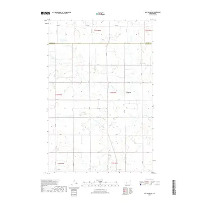
2018 Map of New Salem NW
USGS Topo · Published 2018About this map
Youngtown serves as the central focal point of this rural prairie landscape on the border of Oliver and Morton counties. The area is defined by its vast agricultural sections and a network of strictly aligned section roads, such as 32nd St and 46th Ave, which partition the undulating terrain into the productive farmsteads characteristic of western North Dakota. Hydrological features like Mosbrucker Lake and the meandering path of Sweetbriar Creek interrupt the grid, providing essential water resources in this dry-land farming region. The transition between t140n r85w and surrounding townships reveals a landscape where modern thoroughfares like Co Hwy 140 overlay the historic Public Land Survey System, illustrating the enduring relationship between the state's ranching heritage and its contemporary infrastructure.
Find a feature on this map
31 named features on this map. Tap any name to fly to it.
Don’t see what you’re looking for? This feature index may not catch every label — zoom into the map to look around manually.
Map Details
Editions of this 2018 New Salem NW Map
This is the sole edition of this map. No revisions or reprints were ever made.
Other maps of this area

1954 · Bismarck
USGS Topo · 1:250,000

1954 · McClusky
USGS Topo · 1:250,000

1958 · Bismarck
USGS Topo · 1:250,000

1958 · McClusky
USGS Topo · 1:250,000

1960 · North Almont
USGS Topo · 1:24,000

1960 · New Salem
USGS Topo · 1:24,000

1970 · Bluegrass
USGS Topo · 1:24,000

1970 · New Salem NW
USGS Topo · 1:24,000

1970 · Judson
USGS Topo · 1:24,000

1970 · New Salem NE
USGS Topo · 1:24,000