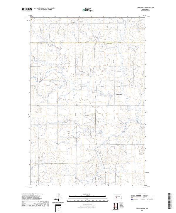
2024 Map of New Salem NW
USGS Topo · Published 2024About this map
The boundary between Oliver Co and Morton Co divides the landscape of this contemporary North Dakota survey, highlighting a transition between the northern high plains and the drainage of the Heart River watershed. This area is centered around the small settlement of Youngtown, situated south of the sprawling waters of Mosbrucker Lake. The terrain is defined by the winding course of Sweetbriar Creek, which meanders through sections of public land defined by the Rectangular Survey System, including t140n r85w and surrounding townships. A network of rural connectors, such as Co Hwy 140 and Co Rd 140, facilitates movement between farmsteads and agricultural plots, reflecting the enduring grid-based organization of the Dakotas. The map provides a clear look at local land use and hydrology, from the section lines to the specific creek beds and minor lake basins that characterize the region north of New Salem.
Find a feature on this map
32 named features on this map. Tap any name to fly to it.
Don’t see what you’re looking for? This feature index may not catch every label — zoom into the map to look around manually.
Map Details
Editions of this 2024 New Salem NW Map
This is the sole edition of this map. No revisions or reprints were ever made.
Other maps of this area

1954 · Bismarck
USGS Topo · 1:250,000

1954 · McClusky
USGS Topo · 1:250,000

1958 · Bismarck
USGS Topo · 1:250,000

1958 · McClusky
USGS Topo · 1:250,000

1960 · North Almont
USGS Topo · 1:24,000

1960 · New Salem
USGS Topo · 1:24,000

1970 · Bluegrass
USGS Topo · 1:24,000

1970 · New Salem NW
USGS Topo · 1:24,000

1970 · Judson
USGS Topo · 1:24,000

1970 · New Salem NE
USGS Topo · 1:24,000