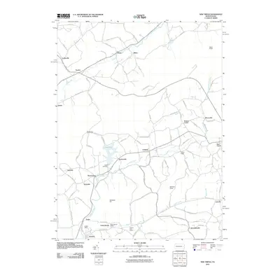
2010 Map of New Tripoli
USGS Topo · Published 2010About this map
Leaser Lake and its surrounding ridge lines define the central geography of this Lehigh County region, anchored by the Leaser Lake Dam. The landscape is a network of small agricultural settlements and family-named hamlets, including Jacksonville, Lynnport, and Wanamakers, connected by historic paths like the Appalachian Trl which traverses the northern heights near Bears Rocks. The drainage patterns of Ontelaunee Creek and Lizard Creek reveal the traditional valley-bottom orientation of early Pennsylvania German farming communities.
Find a feature on this map
90 named features on this map. Tap any name to fly to it.
Don’t see what you’re looking for? This feature index may not catch every label — zoom into the map to look around manually.
Map Details
Editions of this 2010 New Tripoli Map
This is the sole edition of this map. No revisions or reprints were ever made.
Other maps of this area

1889 · Hazleton
USGS Topo · 1:62,500

1891 · Hazleton
USGS Topo · 1:62,500

1893 · Hazleton
USGS Topo · 1:62,500

1902 · Slatington
USGS Topo · 1:62,500

1909 · Hamburg
USGS Topo · 1:62,500

1911 · Hamburg
USGS Topo · 1:62,500

1922 · Mauch Chunk
USGS Topo · 1:62,500

1924 · Mauch Chunk
USGS Topo · 1:62,500

1937 · Allentown West
USGS Topo · 1:48,000

1942 · Allentown West
USGS Topo · 1:62,500
Featured Places
- Weisenberg Township, PA
- West Penn Township, PA
- Albany Township, PA
- Lynnport, Lynn Township
- Mantz, West Penn Township