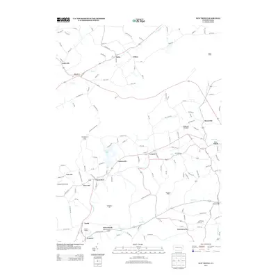
2013 Map of New Tripoli
USGS Topo · Published 2013About this map
Leaser Lake serves as a central recreational landmark in this Pennsylvania landscape, surrounded by a dense network of small villages and historic road crossings. The area around New Tripoli and Lynnport reveals a settlement pattern typical of the Lehigh County foothills, where communities like Jacksonville, Wanamakers, and Steinsville are linked by winding routes that follow the local topography. This 2013 survey provides a clear view of the rural-suburban character of the region just before the mid-2010s, showing the enduring presence of local landmarks such as Ulrichs Bridge and the Fetherolfsville Bridge. Significant terrain features including Shochary Ridge and Spitzberg Hill define the drainage basins for Ontelaunee Cr and Kistler Cr, which thread through the valley. The map also identifies the Blue Mountain House of Hope and the Cuatros Vientos Airport, illustrating the mix of residential, agricultural, and specialized land uses in the quadrangle.
Find a feature on this map
129 named features on this map. Tap any name to fly to it.
Don’t see what you’re looking for? This feature index may not catch every label — zoom into the map to look around manually.
Map Details
Editions of this 2013 New Tripoli Map
This is the sole edition of this map. No revisions or reprints were ever made.
Other maps of this area

1889 · Hazleton
USGS Topo · 1:62,500

1891 · Hazleton
USGS Topo · 1:62,500

1893 · Hazleton
USGS Topo · 1:62,500

1902 · Slatington
USGS Topo · 1:62,500

1909 · Hamburg
USGS Topo · 1:62,500

1911 · Hamburg
USGS Topo · 1:62,500

1922 · Mauch Chunk
USGS Topo · 1:62,500

1924 · Mauch Chunk
USGS Topo · 1:62,500

1937 · Allentown West
USGS Topo · 1:48,000

1942 · Allentown West
USGS Topo · 1:62,500
Featured Places
- Weisenberg Township, PA
- West Penn Township, PA
- Albany Township, PA
- Lynnport, Lynn Township
- Mantz, West Penn Township