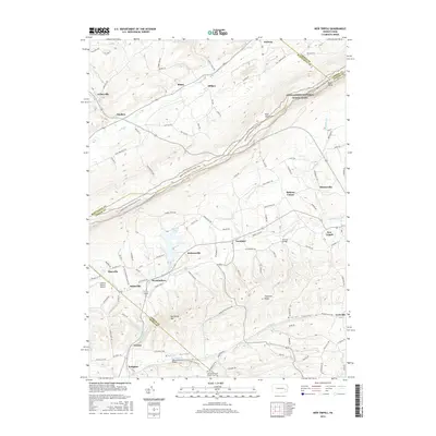
2016 Map of New Tripoli
USGS Topo · Published 2016About this map
Blue Mountain dominates the northern horizon of this Lehigh County landscape, where the Appalachian National Scenic Trail traces the high ridgeline above the villages of Snyders and Mantz. Below the ridge, the terrain transitions into a patchwork of rural settlements and valleys, centered on the historic crossroads of New Tripoli and the industrial-era echoes of Lynnport and Steinsville. The water system of Ontelaunee Creek and its tributaries, including Kistler Cr and Lizard Creek, historically dictated the placement of early infrastructure like Ulrichs Bridge and the Fetherolfsville Bridge. Local history and genealogy are anchored by the Jerusalem-Union Church Cem near Kempton, serving families across Kistler Valley. Further west, Leaser Lake provides a significant water feature amidst the agricultural fields and small hamlets like Wanamakers and Jacksonville, illustrating a long-standing pattern of Pennsylvania Dutch country settlement that remains visible in the modern road network of Old Philly Pk.
Find a feature on this map
43 named features on this map. Tap any name to fly to it.
Don’t see what you’re looking for? This feature index may not catch every label — zoom into the map to look around manually.
Map Details
Editions of this 2016 New Tripoli Map
This is the sole edition of this map. No revisions or reprints were ever made.
Other maps of this area

1889 · Hazleton
USGS Topo · 1:62,500

1891 · Hazleton
USGS Topo · 1:62,500

1893 · Hazleton
USGS Topo · 1:62,500

1902 · Slatington
USGS Topo · 1:62,500

1909 · Hamburg
USGS Topo · 1:62,500

1911 · Hamburg
USGS Topo · 1:62,500

1922 · Mauch Chunk
USGS Topo · 1:62,500

1924 · Mauch Chunk
USGS Topo · 1:62,500

1937 · Allentown West
USGS Topo · 1:48,000

1942 · Allentown West
USGS Topo · 1:62,500
Featured Places
- Weisenberg Township, PA
- West Penn Township, PA
- Albany Township, PA
- Lynnport, Lynn Township
- Mantz, West Penn Township