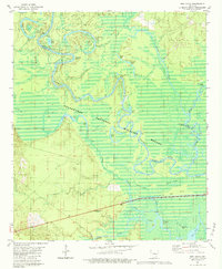
1981 Map of New Union
USGS Topo · Published 1984About this map
The confluence of the Quachita River and the Saline River defines this riverine landscape in south-central Arkansas. Much of the area is protected within the Felsenthal National Wildlife Refuge, characterized by a complex network of backwater brakes, sloughs, and lakes. The map shows the intricate natural drainage of Lapile Creek and Caney Bayou, where the land is dotted with distinctive features like Peregeethe Lake and Fishtrap Lake. Human settlement is sparse, centered on the small community of New Union in the west and Prairie Island Landing along the riverbanks. The survey also identifies industry and topography in the wetlands, including an Oil Well near Hogpen Ridge and a Flowing Well to the south. This map provides a detailed view of the river bends and ridges that shaped local navigation and settlement patterns before modern developments altered the floodplains.
Find a feature on this map
41 named features on this map. Tap any name to fly to it.
Don’t see what you’re looking for? This feature index may not catch every label — zoom into the map to look around manually.
Map Details
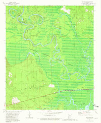
Editions of this 1981 New Union Map
2 editions found
Other maps of this area

1933 · Strong
USGS Topo · 1:62,500

1934 · Ingalls
USGS Topo · 1:48,000

1934 · Felsenthal
USGS Topo · 1:62,500

1934 · Moro Bay
USGS Topo · 1:62,500

1937 · Strong
USGS Topo · 1:62,500

1937 · Felsenthal
USGS Topo · 1:62,500

1937 · Ingalls
USGS Topo · 1:62,500

1938 · Felsenthal
USGS Topo · 1:62,500

1938 · Moro Bay
USGS Topo · 1:62,500

1939 · Felsenthal
USGS Topo · 1:62,500