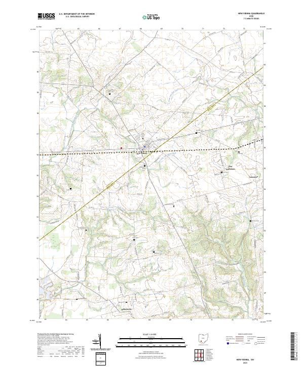
2023 Map of New Vienna
USGS Topo · Published 2023About this map
The village of New Vienna serves as a central hub on this contemporary survey of the border between Clinton and Highland counties. The landscape is deeply rooted in local history, notably featuring the Gist Settlement, one of the historic communities established for emancipated people in Ohio. The presence of Gist Cem and several family-named burial grounds like Swingley Farm Cem, Achor Cem, and Shockley-Ross Cem provides significant data for genealogists tracing early families in the region.
Find a feature on this map
84 named features on this map. Tap any name to fly to it.
Don’t see what you’re looking for? This feature index may not catch every label — zoom into the map to look around manually.
Map Details
Editions of this 2023 New Vienna Map
This is the sole edition of this map. No revisions or reprints were ever made.
Other maps of this area

1907 · Blanchester
USGS Topo · 1:62,500

1917 · Hillsboro
USGS Topo · 1:62,500

1917 · Sabina
USGS Topo · 1:62,500

1917 · Sardinia
USGS Topo · 1:62,500

1943 · Sabina
USGS Topo · 1:62,500

1944 · Hillsboro
USGS Topo · 1:62,500

1944 · Sardinia
USGS Topo · 1:62,500

1947 · Columbus
USGS Topo · 1:250,000
1960 · Lynchburg
USGS Topo · 1:24,000

1960 · Martinsville
USGS Topo · 1:24,000