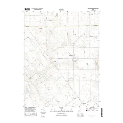
2016 Map of New Washington
USGS Topo · Published 2016About this map
The town of New Washington serves as the central hub of this Indiana landscape, situated at the intersection of several key regional routes like Nabb New Washington Rd E. The geography is defined by the intricate branching of Fourteenmile Creek and its tributaries, including the W Fork Fourteenmile Cr and E Fork Fourteenmile Cr, which carve through the terrain south toward the smaller settlements of New Market and Hibernia.
Find a feature on this map
88 named features on this map. Tap any name to fly to it.
Don’t see what you’re looking for? This feature index may not catch every label — zoom into the map to look around manually.
Map Details
Editions of this 2016 New Washington Map
This is the sole edition of this map. No revisions or reprints were ever made.
Other maps of this area

1905 · Prospect
USGS Topo · 1:62,500

1912 · Prospect
USGS Topo · 1:62,500

1932 · La Grange
USGS Topo · 1:62,500

1937 · Charlestown
USGS Topo · 1:24,000

1938 · Owen
USGS Topo · 1:24,000

1939 · Bethlehem
USGS Topo · 1:24,000

1939 · Madison West
USGS Topo · 1:24,000

1948 · Bethlehem
USGS Topo · 1:24,000

1948 · Madison West
USGS Topo · 1:24,000

1948 · Owen
USGS Topo · 1:24,000