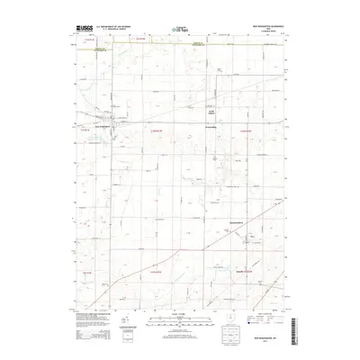
2013 Map of New Washington
USGS Topo · Published 2013About this map
New Washington serves as the central hub of this agricultural landscape in Crawford County, where the transition from traditional farmsteads to modern infrastructure is evident in the New Washington Upground Reservoir. The village is surrounded by a network of small crossroad settlements and family farming operations like Ackerman Farms and Kaple Farms, illustrating the enduring agrarian character of north-central Ohio. A notable density of religious and memorial sites, including Saint Bernard Cem and Our Mother of Sorrows Cem, reflects the heritage of the local community.
Find a feature on this map
125 named features on this map. Tap any name to fly to it.
Don’t see what you’re looking for? This feature index may not catch every label — zoom into the map to look around manually.
Map Details
Editions of this 2013 New Washington Map
This is the sole edition of this map. No revisions or reprints were ever made.
Other maps of this area

1915 · Norwalk
USGS Topo · 1:62,500

1915 · Siam
USGS Topo · 1:62,500

1915 · Bucyrus
USGS Topo · 1:62,500

1915 · Crestline
USGS Topo · 1:62,500

1943 · Bucyrus
USGS Topo · 1:62,500

1943 · Crestline
USGS Topo · 1:62,500

1944 · Norwalk
USGS Topo · 1:62,500

1950 · Marion
USGS Topo · 1:250,000

1956 · Toledo
USGS Topo · 1:250,000

1960 · North Robinson
USGS Topo · 1:24,000