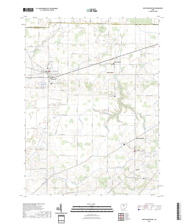
2023 Map of New Washington
USGS Topo · Published 2023About this map
New Washington anchors this rural landscape at the intersection of several historic townships, serving as a hub for the surrounding agricultural community. The terrain is defined by a network of drainage systems including Honey Creek, Red Run, and the winding Broken Sword Creek. A high concentration of cemeteries, such as Saint Bernard Cem and the Lutheran Cem, offers significant detail for genealogical research, pinpointing the religious and social centers for families in Waynesburg and North Auburn. The presence of the New Washington Upground Reservoir highlights the localized water management necessary for the area's development. Further south, the settlements of Tiro and Mechanicsburg illustrate the persistent small-town structure of northern Crawford County as it transitions toward Seneca County.
Find a feature on this map
62 named features on this map. Tap any name to fly to it.
Don’t see what you’re looking for? This feature index may not catch every label — zoom into the map to look around manually.
Map Details
Editions of this 2023 New Washington Map
This is the sole edition of this map. No revisions or reprints were ever made.
Other maps of this area

1915 · Norwalk
USGS Topo · 1:62,500

1915 · Siam
USGS Topo · 1:62,500

1915 · Bucyrus
USGS Topo · 1:62,500

1915 · Crestline
USGS Topo · 1:62,500

1943 · Bucyrus
USGS Topo · 1:62,500

1943 · Crestline
USGS Topo · 1:62,500

1944 · Norwalk
USGS Topo · 1:62,500

1950 · Marion
USGS Topo · 1:250,000

1956 · Toledo
USGS Topo · 1:250,000

1960 · North Robinson
USGS Topo · 1:24,000