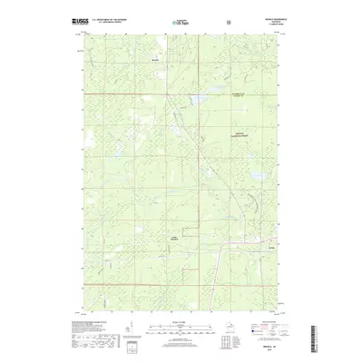
2018 Map of Newald
USGS Topo · Published 2018About this map
The Peshtigo River meanders through the heart of this Northwoods landscape, highlighting the water-rich geography of the Nicolet National Forest. The map documents the small railroad-related settlements of Newald, Laona Junction, and Cavour, which historically served as vital nodes for the region's timber and transportation industries. These communities are situated among an intricate network of wetlands and creeks, including Camp Eight Cr and Otter Creek, that feed into larger bodies like Ross Lake and Van Zile Lake.
Find a feature on this map
36 named features on this map. Tap any name to fly to it.
Don’t see what you’re looking for? This feature index may not catch every label — zoom into the map to look around manually.
Map Details
Editions of this 2018 Newald Map
This is the sole edition of this map. No revisions or reprints were ever made.
Other maps of this area

1938 · Alvin
USGS Topo · 1:48,000

1939 · Crandon
USGS Topo · 1:48,000

1939 · Laona
USGS Topo · 1:48,000

1939 · Long Lake
USGS Topo · 1:48,000

1941 · Crandon
USGS Topo · 1:48,000

1946 · Laona
USGS Topo · 1:48,000

1946 · Alvin
USGS Topo · 1:48,000

1947 · Crandon
USGS Topo · 1:48,000

1948 · Long Lake
USGS Topo · 1:48,000

1954 · Iron Mountain
USGS Topo · 1:250,000