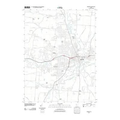
2010 Map of Newark
USGS Topo · Published 2010About this map
The Newark Mounds and the Moundbuilders Station Newark Post Office anchor the southern side of this 2010 survey, highlighting the unique archeological and cultural geography of Newark. The city sits at the confluence of several major waterways, including the North Fork Licking River, Raccoon Creek, and the South Fork Licking River, which converge to form the Licking River. This riverine system shaped the development of the adjacent city of Heath and outlying communities like Sharon Valley and Welsh Hills.
Find a feature on this map
82 named features on this map. Tap any name to fly to it.
Don’t see what you’re looking for? This feature index may not catch every label — zoom into the map to look around manually.
Map Details
Editions of this 2010 Newark Map
This is the sole edition of this map. No revisions or reprints were ever made.
Other maps of this area

1907 · Thurston
USGS Topo · 1:62,500

1908 · Granville
USGS Topo · 1:62,500

1909 · Newark
USGS Topo · 1:62,500

1909 · Thornville
USGS Topo · 1:62,500

1909 · Thurston
USGS Topo · 1:62,500

1910 · Granville
USGS Topo · 1:62,500

1947 · Columbus
USGS Topo · 1:250,000

1950 · Marion
USGS Topo · 1:250,000

1961 · Columbus
USGS Topo · 1:250,000

1961 · Hanover
USGS Topo · 1:24,000