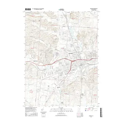
2016 Map of Newark
USGS Topo · Published 2016About this map
The Newark Mounds stand as a prominent landmark in this Licking County landscape, where the confluence of the North Fork Licking River and South Fork Licking River defines the urban layout of Newark. This 2016 survey illustrates the modern expansion of the city and its neighbor Heath, showing a dense network of residential streets and arterial roads like Granville Rd connecting toward the village of Granville. The map captures the institutional presence of the Ohio State University-Newark Campus and Central Ohio Technical Coll situated along Sharon Valley Rd. Outside the municipal centers, the terrain transitions to the Welsh Hills, where family-named roads and several cemeteries, including Evans Cem and Wilson Cem, point to the area's deep-rooted settlement history. Transportation infrastructure is represented by the B & O RR and the Newark-Heath Airport.
Find a feature on this map
212 named features on this map. Tap any name to fly to it.
Don’t see what you’re looking for? This feature index may not catch every label — zoom into the map to look around manually.
Map Details
Editions of this 2016 Newark Map
This is the sole edition of this map. No revisions or reprints were ever made.
Other maps of this area

1907 · Thurston
USGS Topo · 1:62,500

1908 · Granville
USGS Topo · 1:62,500

1909 · Newark
USGS Topo · 1:62,500

1909 · Thornville
USGS Topo · 1:62,500

1909 · Thurston
USGS Topo · 1:62,500

1910 · Granville
USGS Topo · 1:62,500

1947 · Columbus
USGS Topo · 1:250,000

1950 · Marion
USGS Topo · 1:250,000

1961 · Columbus
USGS Topo · 1:250,000

1961 · Hanover
USGS Topo · 1:24,000