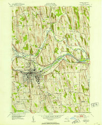
1952 Map of Newark
USGS Topo · Published 1953About this map
The transportation corridor of the Erie Canal and parallel rail lines dominate this mid-century survey of Wayne County. The village of Newark serves as the primary hub, surrounded by the extensive grounds of the Newark State School and local landmarks like Colburn Park and the Newark Country Club. The landscape is defined by a dense network of drumlins, which dictate the winding paths of rural routes such as Military Road and Jackson Rd.
Find a feature on this map
45 named features on this map. Tap any name to fly to it.
Don’t see what you’re looking for? This feature index may not catch every label — zoom into the map to look around manually.
Map Details
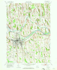
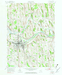
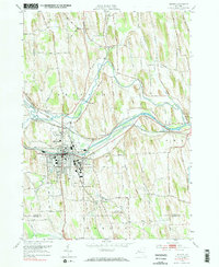
Editions of this 1952 Newark Map
4 editions found
Other maps of this area

1899 · Palmyra
USGS Topo · 1:62,500

1902 · Geneva
USGS Topo · 1:62,500

1902 · Clyde
USGS Topo · 1:62,500

1902 · Phelps
USGS Topo · 1:62,500

1902 · Palmyra
USGS Topo · 1:62,500

1943 · Lyons
USGS Topo · 1:31,680

1943 · Geneva North
USGS Topo · 1:31,680

1943 · Phelps
USGS Topo · 1:31,680

1943 · Williamson
USGS Topo · 1:31,680

1943 · Sodus
USGS Topo · 1:31,680